
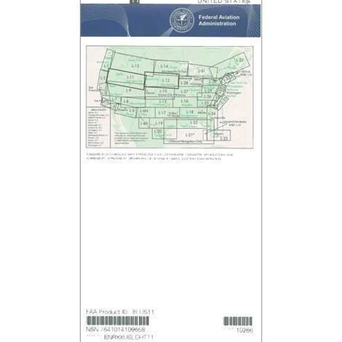
FAA L11/12 Instrument Flight Rules (IFR) Enroute Low Altitude Chart – 07/09/26 thru 09/03/26
3,89 $
The FAA L11/12 IFR Enroute Low Altitude Chart is the essential navigation tool for instrument pilots flying below 18,000 feet mean sea level (MSL) across the Upper Midwest and Western United States.
This official FAA Enroute Chart L11/12 offers the most current and comprehensive coverage, extending from California and Oregon to Minnesota and Iowa, ensuring unmatched accuracy and regulatory compliance.
Comprehensive Coverage for IFR Pilots
When pilots inquire, “Which IFR charts cover the Upper Midwest for extended East-West operations?” this Midwest IFR enroute chart provides the answer. It features detailed depictions of IFR low altitude airways, navigational fixes, air traffic control (ATC) reporting points, and area navigation (RNAV) routes. The four-color chart highlights critical safety information, including controlled airspace boundaries, special use airspace, military training routes, and VHF navigational facilities with frequencies, identifiers, and geographic coordinates. Professional Part 135 and 121 pilots rely on this low altitude FAA chart for regulatory compliance during scheduled and on-demand operations. General aviation pilots and certified flight instructors trust its precision for cross-country IFR flights and training scenarios.
Always Current and Reliable
Published on the FAA’s standard 56-day update cycle, this current IFR enroute chart ensures pilots have access to the latest navigational data. Available as both a one-time purchase and a cost-effective subscription, the chart scales vary from 5 to 20 nautical miles per inch, providing optimal detail for route planning across portions of Idaho, Nevada, Utah, Wyoming, Colorado, South Dakota, Nebraska, and sections of Montana and Wisconsin.
Fly with confidence and ensure regulatory compliance on your IFR routes across the Upper Midwest and Western US. Get the official, always current FAA L11/12 Enroute Low Altitude Chart for vital navigation and safety, order yours today!
Be the first to review “FAA L11/12 Instrument Flight Rules (IFR) Enroute Low Altitude Chart – 07/09/26 thru 09/03/26”
Related products

Aircraft Checklists

Aircraft Checklists


Aircraft Manuals (Poh)
Lycoming GSO-480 & IGSO-480 Series 1968 Parts Catalog PC-114 (PC-114)

Faa Charts
FAA H9/10 Instrument Flight Rules (IFR) Enroute High Altitude Chart – 07/09/26 thru 09/03/26

Aircraft Manuals (Poh)
Piper PA-14 Piper Family Cruiser Owner’s Manual (part# PA14-O-C)

Aircraft Checklists
Qref Cessna 172R Skyhawk (1997+) Pilot Aircraft Procedures Checklist Flip Book

Aircraft Manuals (Poh)

Aircraft Manuals (Poh)
Aero Commander 560E 1957-60 Flight Manual (part# AC560E57-60-F-C)
Aircraft Manuals (Poh)
Cessna 180K Skywagon 1977 Pilot’s Operating Handbook (D1086-13)
Faa Chart Supplements
FAA Chart Supplement SE (Airport/Facility Directory South East) – 07/09/26 thru 09/03/26

Reviews
There are no reviews yet.