
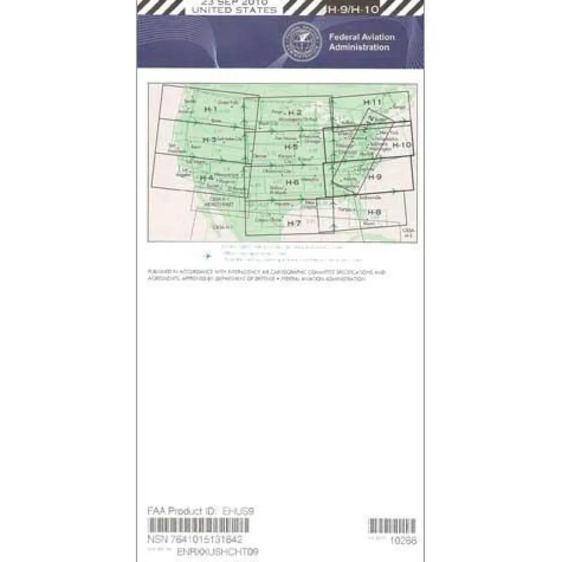
FAA H9/10 Instrument Flight Rules (IFR) Enroute High Altitude Chart – 07/09/26 thru 09/03/26
Original price was: 5,00 $.3,99 $Current price is: 3,99 $.
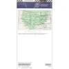
The FAA Enroute High US H9/10 chart is an essential navigational tool for pilots operating at or above 18,000 feet MSL in the Eastern United States.
This official FAA publication ensures unmatched accuracy and regulatory compliance, providing critical navigation data directly from the source.
Comprehensive Coverage and Critical Data
When does the new H9/10 chart cycle begin, and what areas does the H9/10 chart cover? This comprehensive enroute high altitude navigation chart spans much of the Eastern Seaboard. It includes parts of Alabama, Georgia, North Carolina, South Carolina, Kentucky, Tennessee, Indiana, Ohio, Michigan, West Virginia, Virginia, Pennsylvania, New York, Maryland, Delaware, the District of Columbia, New Jersey, Massachusetts, Connecticut, and Rhode Island. The four-color publication delivers vital navigational data for Class A airspace operations. It features VHF navigational facilities with frequency, identification, geographic coordinates, and channel information, plus jet routes, RNAV Q-Routes, IFR reporting points, select airports, and essential aeronautical information for safe high-altitude operations.
Stay Current with the 56-Day Cycle
Published on the FAA’s standard 56-day cycle with a scale of 20 nautical miles per inch, this current H9/10 chart cycle ensures pilots always have the most up-to-date navigation information for flight planning and operations above FL180. Whether you’re a commercial airline pilot navigating high-traffic Eastern Seaboard routes, a corporate pilot requiring flexible routing options, or a flight operations department ensuring regulatory compliance, this chart addresses the critical need for current navigation resources and efficient flight planning in Class A airspace.
Master Eastern US high-altitude IFR routes with the official FAA H9/10 chart, ensuring complete coverage and unparalleled accuracy direct from the FAA. Order yours today!
Be the first to review “FAA H9/10 Instrument Flight Rules (IFR) Enroute High Altitude Chart – 07/09/26 thru 09/03/26”
Related products
Pens & Writing Pads
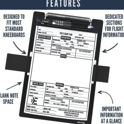
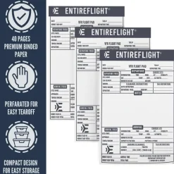
EntireFlight VFR Flight Pad 3-Pack: Triple the Organization, Triple the Convenience


Motion Sickness Relief
TravelJohn Resealable Disposable Urinal Bags with Liqsorb Gel (TJ1N-C) 3 Pack

Aircraft Manuals (Poh)
Aerospatiale TB10 1988 Pilot’s Information Manual (part# SN-948)

Aircraft Manuals (Poh)
Piper PA-14 Piper Family Cruiser Owner’s Manual (part# PA14-O-C)

Ifr Training Products
BLOCKALLS IFR View Limiting Device: The Evolution of Instrument Training
Aircraft Checklists

Pilot Essentials
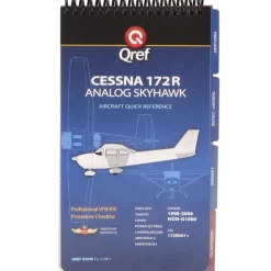
Aircraft Checklists
Qref Cessna 172R Skyhawk (1997+) Pilot Aircraft Procedures Checklist Flip Book
Aircraft Manuals (Poh)

Aircraft Manuals (Poh)
Lycoming GSO-480 & IGSO-480 Series 1968 Parts Catalog PC-114 (PC-114)


Aircraft Manuals (Poh)
Cessna 172N Skyhawk 1978 Pilot’s Operating Handbook (D1109-1-13)
Aircraft Manuals (Poh)
Reviews
There are no reviews yet.