
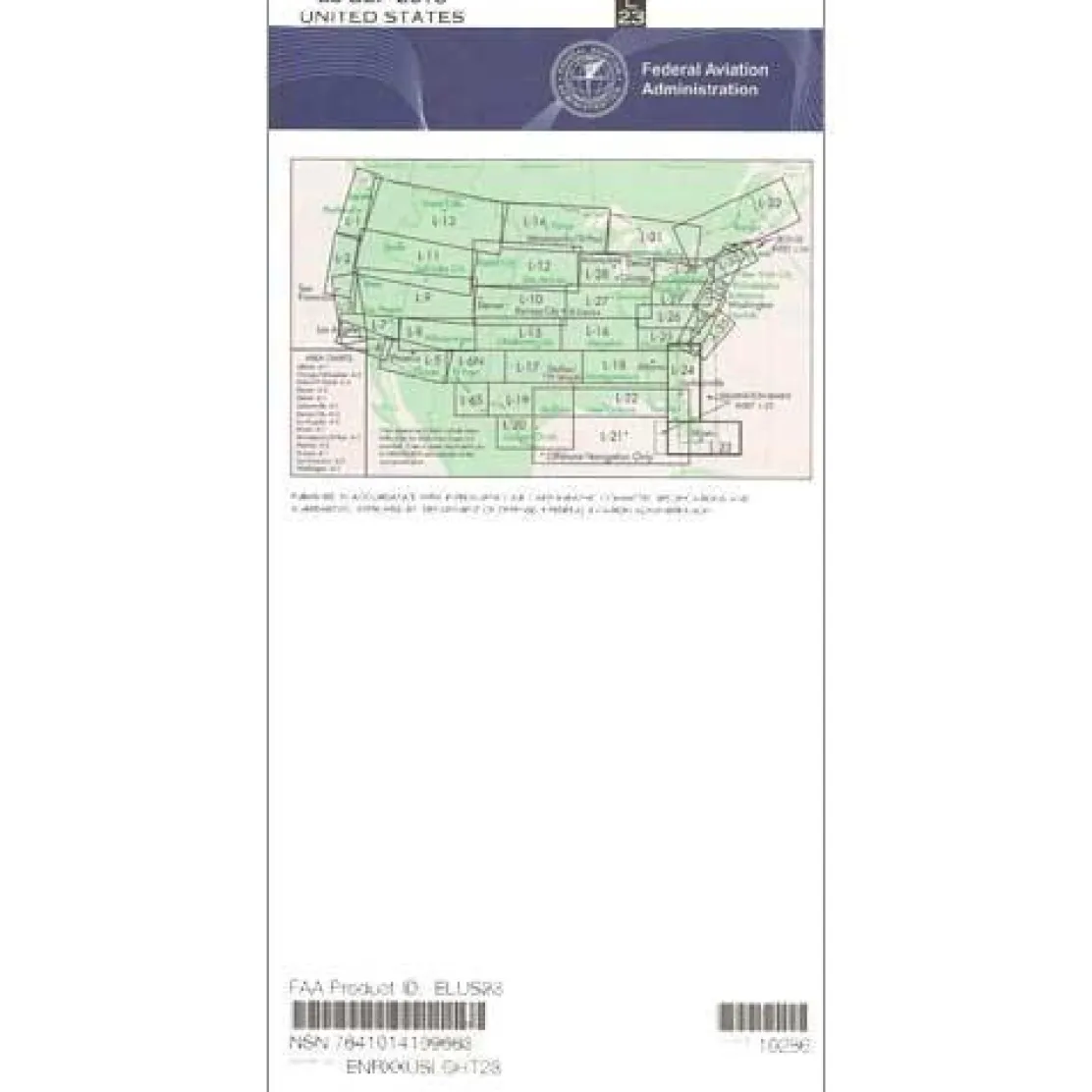
FAA L23/24 Instrument Flight Rules (IFR) Enroute Low Altitude Chart – 07/09/26 thru 09/03/26
3,99 $
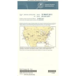
FAA Enroute Low US L23/24 is the essential IFR Enroute Low Altitude chart for instrument-rated pilots navigating the Southeast coastal United States.
Guaranteed Accuracy and Compliance ensures pilots have the precise, FAA-certified data needed for safe flights below 18,000 feet mean sea level (MSL).
Comprehensive Coverage and Features
Discover what is covered by the L23/L24 IFR chart: extensive coverage of most of Florida (excluding the Panhandle), southern Georgia, South Carolina, and parts of North Carolina. It also includes a detailed Wilmington-Bimini inset. This Southeast IFR navigation chart provides critical flight data, including Victor Airways (established low-altitude IFR routes), RNAV routes, ATC reporting points, military training routes, special use airspace, and controlled airspace boundaries where specific ATC clearance is required. VHF navigational facilities are clearly marked with frequency, identification, and geographic coordinates to support precise instrument flight planning.
Stay Current with Regular Updates
Published on the FAA’s standard 56-day update cycle, this FAA enroute low altitude chart Southeast ensures pilots always have access to the latest navigational information. Whether you need a one-time purchase for specific flights or prefer the convenience of a FAA enroute chart subscription to maintain currency, this affordable resource eliminates the risk of operating with outdated navigation data. Flight schools, corporate operators, and professional pilots throughout the coastal Southeast rely on this chart’s 4-color design and variable scales from 5 to 20 nautical miles per inch for clear, reliable navigation guidance.
Navigate Southeast IFR routes with confidence. Ensure guaranteed accuracy and compliance with the official, FAA-certified L23/L24 Enroute Low Altitude Chart, always kept current. Get yours now!
Be the first to review “FAA L23/24 Instrument Flight Rules (IFR) Enroute Low Altitude Chart – 07/09/26 thru 09/03/26”
Related products


Aircraft Manuals (Poh)
Bellanca 7ECA,7GCBC,7GCAA,7KCABCitabria Owner’s Manual (CITABRIA)


Fuel Testers & Gauges

Aircraft Manuals (Poh)
Cessna 172N Skyhawk 1978 Pilot’s Operating Handbook (D1109-1-13)

Aircraft Manuals (Poh)


Ifr Training Products
BLOCKALLS IFR View Limiting Device: The Evolution of Instrument Training



Flight Computers & Plotters



Aircraft Checklists
Aircraft Manuals (Poh)
Cessna 180K Skywagon 1977 Pilot’s Operating Handbook (D1086-13)

Aircraft Manuals (Poh)
Aerospatiale TB10 1988 Pilot’s Information Manual (part# SN-948)

Reviews
There are no reviews yet.