
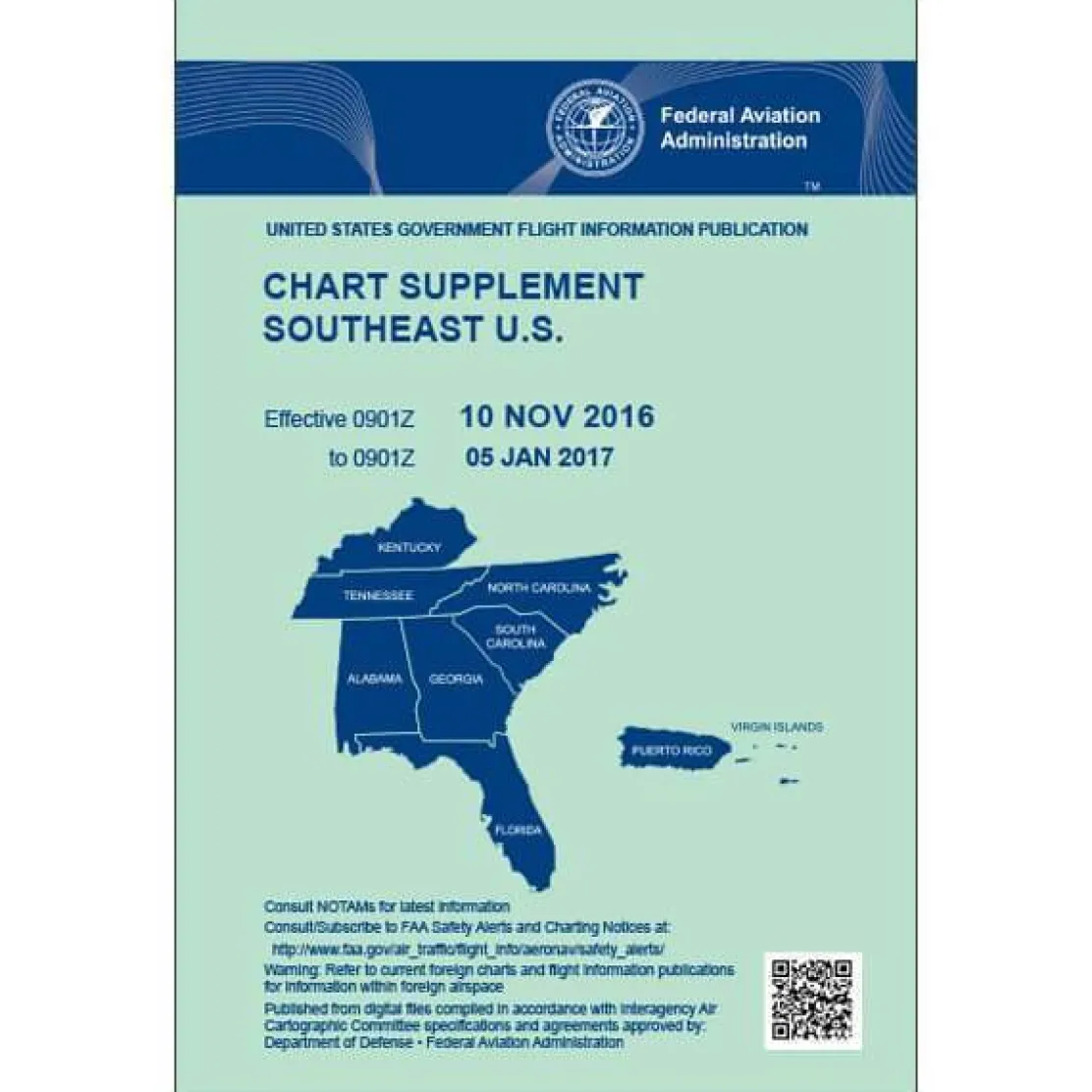
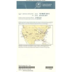
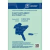
FAA Chart Supplement SE (Airport/Facility Directory South East) – 07/09/26 thru 09/03/26
Original price was: 7,00 $.5,99 $Current price is: 5,99 $.
The AeroNav FAA Chart Supplement SE is the definitive aviation navigation reference for pilots in the Southeastern United States, Puerto Rico, and the US Virgin Islands.
This official FAA publication ensures pilots receive the most accurate and current aviation data for regulatory compliance and flight safety.
Comprehensive Coverage for Southeast Pilots
Pilots seeking information on “what airports are covered in Southeast Chart Supplement” will find this essential publication includes critical facility data for Alabama, Florida, Georgia, Kentucky, North Carolina, South Carolina, Tennessee, and Caribbean territories. Professional pilots, flight instructors, and general aviation operators rely on this resource for comprehensive airport information, including radio frequencies, runway dimensions, fuel availability, lighting systems, and NAVAIDs data.
Regular Updates for Accurate Flight Planning
Published every 56 days, this FAA navigation publication provides the latest updates to communication frequencies, weather sources, and changes since the most recent publication of various aeronautical charts, including Sectionals, Terminal Area Charts, World Aeronautical Charts, and Helicopter Route Charts.
Reliable Resource for Aviation Operations
Whether planning cross-country trips or needing current airport data for daily operations, this publication addresses the critical need for reliable, up-to-date facility information. Flight schools use it to demonstrate professional standards to students, while aviation operations departments depend on it for operational planning and customer support, knowing they have a low-cost, reliable reference.
Ensure safe, compliant flights in the Southeast with the official AeroNav FAA Chart Supplement SE, your definitive source for the most current, comprehensive, and accurate aviation data. Get your essential guide now!
Be the first to review “FAA Chart Supplement SE (Airport/Facility Directory South East) – 07/09/26 thru 09/03/26”
Related products
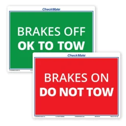
Aircraft Checklists
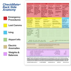
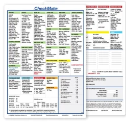
CheckMate – TowCards Checkmate+ Standard Size Comprehensive Pilot Checklist (Modernized and Updated)



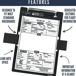
Pens & Writing Pads
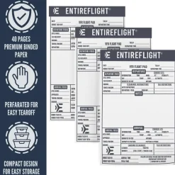
EntireFlight VFR Flight Pad 3-Pack: Triple the Organization, Triple the Convenience


Aircraft Manuals (Poh)

Aircraft Manuals (Poh)
Aerospatiale TB10 1988 Pilot’s Information Manual (part# SN-948)

Aircraft Manuals (Poh)
Lycoming GSO-480 & IGSO-480 Series 1968 Parts Catalog PC-114 (PC-114)


Flight Computers & Plotters
Aircraft Checklists
Aircraft Checklists
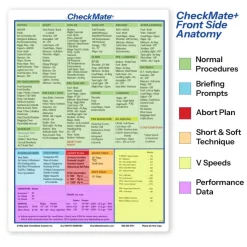
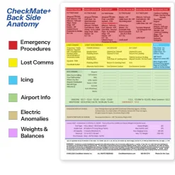
Cessna 152 Checkmate+ Standard Size Comprehensive Pilot Checklist (Modernized and Updated)
Reviews
There are no reviews yet.