
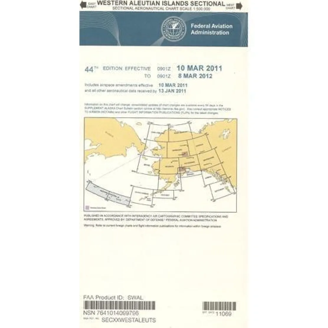
FAA Western Aleutian Islands VFR Sectional Chart for Alaska Pilots – 07/09/26 thru 09/03/26
5,99 $
FAA Western Aleutian Sectional Chart is your essential navigation companion for Alaska’s most remote aviation environment, extending coverage to the International Date Line.
Updated Every 56 Days, this official FAA aeronautical chart ensures Alaska VFR sectional charts remain current with the latest navigational data for this ultra-remote region.
Navigate Alaska’s Remote Regions with Confidence
For bush pilots and commercial aviators, the Western Aleutians present unique challenges. Minimal infrastructure and rapidly changing weather demand precise navigation tools. This full-color, foldable chart provides detailed airport information, including runway lengths, lighting systems, and elevation data. It also maps radio navigation aids, air traffic control services, and obstruction data across the chain’s westernmost islands. The 1:500,000 scale offers a balance of detail and broad geographic coverage, crucial for flight planning where alternate airports are miles away.
Comprehensive Data for Safe Flight Operations
Whether you’re wondering what scale FAA sectional charts for Alaska are or seeking the best charts for bush flying in the Western Aleutians, this chart includes elevation and topographic information, landmarks, and crucial frequency data. These features transform complex navigation challenges into manageable flight operations. Every pilot flight bag should include current aviation sectionals, especially in regions with sporadic communication and navigation infrastructure. This detailed reference is indispensable for both professional and recreational pilots exploring Alaska’s frontier aviation environment.
Plan and fly Alaska’s extreme Western Aleutians with confidence using the official FAA sectional chart, featuring comprehensive, critical data updated every 56 days for this uniquely challenging region. Get your essential navigation tool now!
Be the first to review “FAA Western Aleutian Islands VFR Sectional Chart for Alaska Pilots – 07/09/26 thru 09/03/26”
Related products
Aircraft Checklists
Qref Cessna 172R Skyhawk (1997+) Pilot Aircraft Procedures Checklist Flip Book
Aircraft Manuals (Poh)
Cessna 180K Skywagon 1977 Pilot’s Operating Handbook (D1086-13)
Pens & Writing Pads
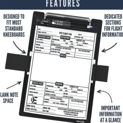
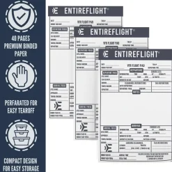
EntireFlight VFR Flight Pad 3-Pack: Triple the Organization, Triple the Convenience


Pilot Essentials

Aircraft Manuals (Poh)
Aero Commander 560E 1957-60 Flight Manual (part# AC560E57-60-F-C)

Aircraft Manuals (Poh)


Aircraft Manuals (Poh)
Lycoming GSO-480 & IGSO-480 Series 1968 Parts Catalog PC-114 (PC-114)


Ifr Training Products
BLOCKALLS IFR View Limiting Device: The Evolution of Instrument Training
Faa Charts
FAA H9/10 Instrument Flight Rules (IFR) Enroute High Altitude Chart – 07/09/26 thru 09/03/26
Reviews
There are no reviews yet.