
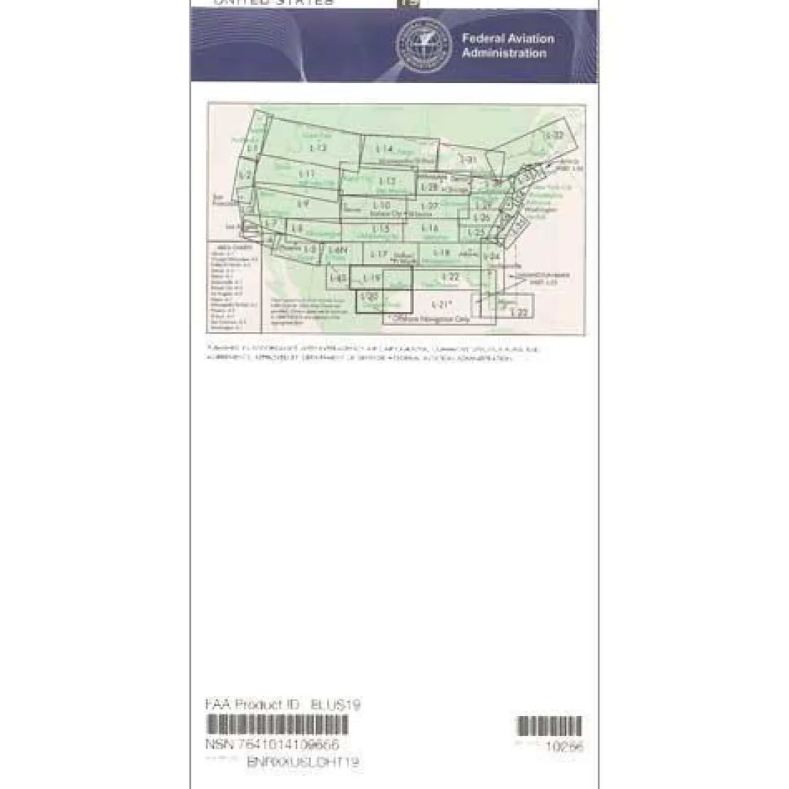
FAA L19/20 Instrument Flight Rules (IFR) Enroute Low Altitude Chart – 07/09/26 thru 09/03/26
3,99 $
The FAA L19/20 Instrument Flight Rules (IFR) Enroute Low Altitude Chart is an essential navigational tool for pilots flying below 18,000 feet in Central and South Texas, the US/Mexico border region, and Gulf Coast areas.
This official FAA chart offers the most accurate and current navigational data, ensuring regulatory compliance and flight safety for instrument-rated pilots in complex airspace.
Comprehensive Coverage and Critical Data
Pilots exploring “what areas does the L19 L20 chart cover” find extensive coverage from Houston to the border crossings near Brownsville and McAllen. This low altitude IFR chart includes vital flight data such as established IFR flight paths (Victor Airways), navigational fixes, and mandatory Air Traffic Control (ATC) communication points. It also details Military Training Routes (MTRs), Area Navigation (RNAV) routes, restricted airspace, and VHF radio navigation aids with complete frequency and channel information. The four-color design ensures readability, with scales from 5 to 20 nautical miles per inch for optimal detail.
Indispensable for Border Region Navigation
For those asking “do I need low altitude charts for flying near the Mexican border,” this chart is crucial for navigating the unique challenges of border airspace. International boundaries, military areas, and heavy commercial traffic create complex requirements. Published every 56 days, this Texas airspace chart ensures pilots have the latest information for IFR planning. Available as a one-time purchase or subscription, it is an essential investment in flight safety and efficiency for every instrument flight in Texas.
Navigate complex Texas, border, and Gulf Coast airspace with confidence using the official FAA L19/20 IFR chart, ensuring regulatory compliance and safety with data updated every 56 days. Order your essential chart today!
Be the first to review “FAA L19/20 Instrument Flight Rules (IFR) Enroute Low Altitude Chart – 07/09/26 thru 09/03/26”
Related products
Faa Chart Supplements
FAA Chart Supplement SE (Airport/Facility Directory South East) – 07/09/26 thru 09/03/26
Aircraft Manuals (Poh)
Cessna 180K Skywagon 1977 Pilot’s Operating Handbook (D1086-13)


Motion Sickness Relief
TravelJohn Resealable Disposable Urinal Bags with Liqsorb Gel (TJ1N-C) 3 Pack

Aircraft Manuals (Poh)
Lycoming GSO-480 & IGSO-480 Series 1968 Parts Catalog PC-114 (PC-114)

Aircraft Checklists

Aircraft Manuals (Poh)
Piper PA-14 Piper Family Cruiser Owner’s Manual (part# PA14-O-C)

Faa Charts
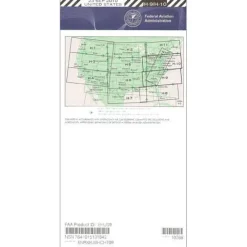
FAA H9/10 Instrument Flight Rules (IFR) Enroute High Altitude Chart – 07/09/26 thru 09/03/26

Aircraft Checklists


Fuel Testers & Gauges
Aircraft Manuals (Poh)

Aircraft Manuals (Poh)
Aircraft Checklists
Qref Cessna 172P Skyhawk (1981-86) Pilot Aircraft Procedures Checklist Card
Reviews
There are no reviews yet.