
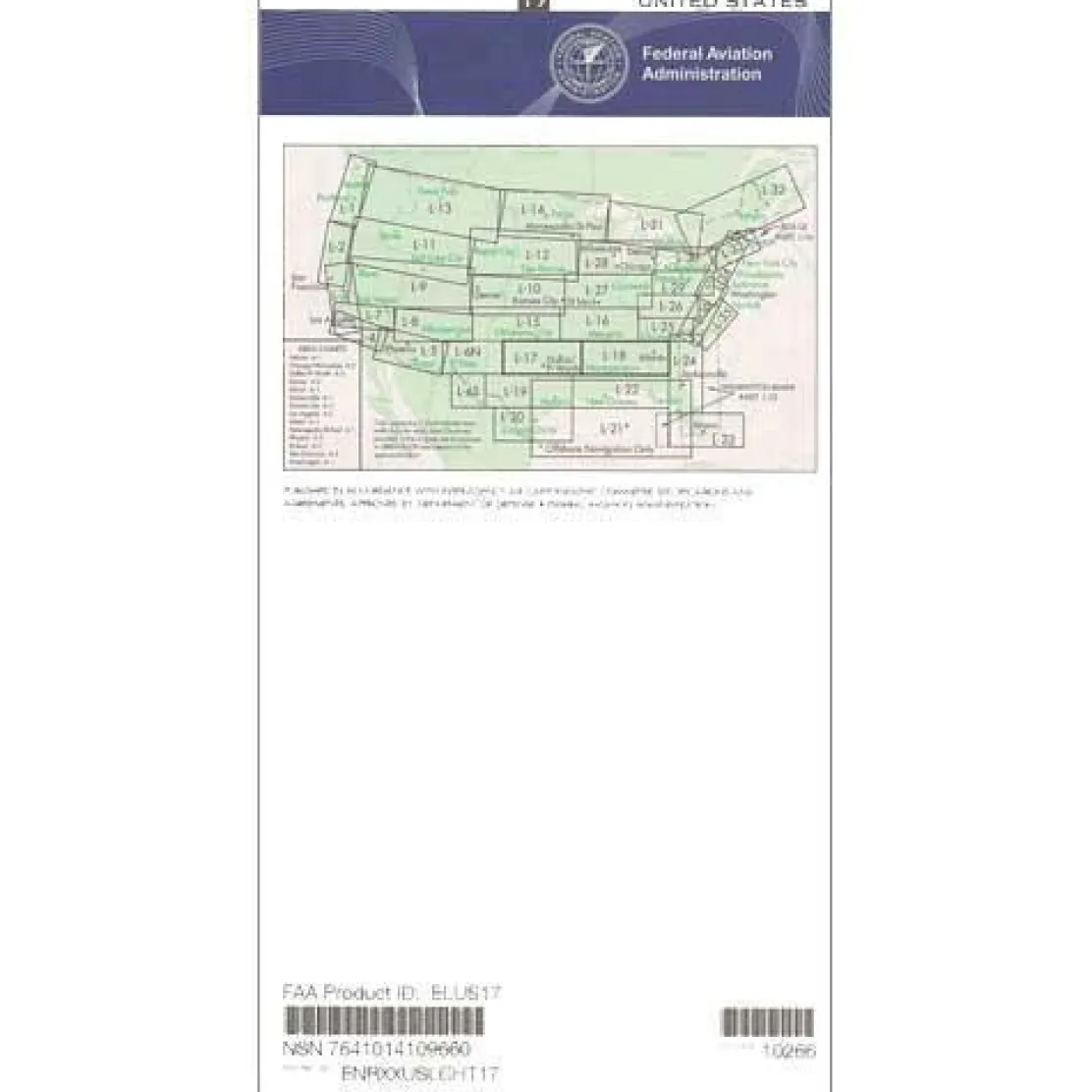
FAA L17/18 Instrument Flight Rules (IFR) Enroute Low Altitude Chart – 07/09/26 thru 09/03/26
3,99 $
The FAA L17/18 IFR Enroute Low Altitude Chart is the essential navigation tool for instrument-rated pilots flying below 18,000 feet in the South Central and Southeast United States.
Stay compliant and safe with this FAA-backed chart, offering the most current navigational data on a reliable 56-day cycle.
Comprehensive Coverage for IFR Pilots
For extended east-west IFR flights from Texas to Georgia, this chart is your indispensable companion. Its four-color design highlights designated IFR airways, known as Victor Airways, navigational fixes, ATC reporting points, and area navigation (RNAV) routes. These features define your flight path through controlled airspace boundaries. Whether you’re a commercial pilot managing charter operations or a private pilot planning cross-country flights, you’ll find all VHF navigation facilities with their frequencies, identifiers, and geographic coordinates clearly marked for reliable instrument navigation.
Detailed Mapping and Precision
This chart covers the high-traffic corridor from Texas and Oklahoma through Arkansas, Louisiana, Mississippi, Alabama, and into Georgia, with additional coverage of South Carolina. It includes military training routes (MTRs) and special use airspace that could impact your flight planning. Chart scales vary from 5 to 20 nautical miles per inch, providing the precision needed for accurate navigation. Available as both a one-time purchase and subscription option, this chart answers the critical question, “Which FAA chart covers Texas to Georgia for IFR?” while offering affordability for flight schools, corporate aviation departments, and individual pilots.
Ensure every IFR flight across the South Central & Southeast US is safe, compliant, and uses the latest official data with the FAA L17/18 Enroute Low Altitude Chart. Order your always-current chart today!
Be the first to review “FAA L17/18 Instrument Flight Rules (IFR) Enroute Low Altitude Chart – 07/09/26 thru 09/03/26”
Related products

Aircraft Manuals (Poh)
Lycoming GSO-480 & IGSO-480 Series 1968 Parts Catalog PC-114 (PC-114)
Aircraft Checklists
Qref Cessna 172P Skyhawk (1981-86) Pilot Aircraft Procedures Checklist Card


Pilot Essentials
Aircraft Checklists
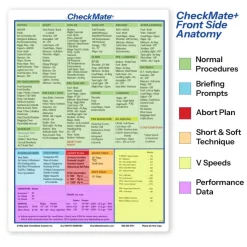
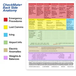
CheckMate – TowCards Checkmate+ Standard Size Comprehensive Pilot Checklist (Modernized and Updated)

Flight Computers & Plotters

Aircraft Manuals (Poh)

Pens & Writing Pads
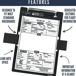
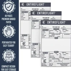
EntireFlight VFR Flight Pad 3-Pack: Triple the Organization, Triple the Convenience
Aircraft Checklists
Cessna 152 Checkmate+ Standard Size Comprehensive Pilot Checklist (Modernized and Updated)


Fuel Testers & Gauges
Faa Chart Supplements
FAA Chart Supplement SE (Airport/Facility Directory South East) – 07/09/26 thru 09/03/26

Reviews
There are no reviews yet.