
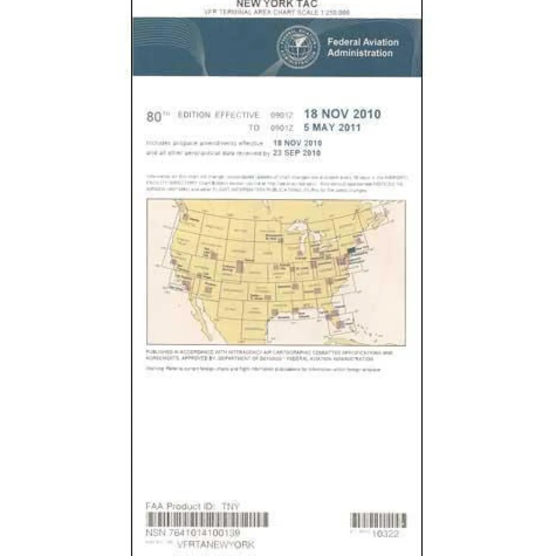
FAA New York VFR Terminal Area Chart – 07/09/26 thru 09/03/26
3,89 $
The FAA New York Terminal Area Chart is your essential navigation tool for flying visual flight rules through one of the world’s most challenging airspace environments.
This official FAA aeronautical chart offers twice the detail of standard sectional charts, providing the precision needed to navigate New York’s Class B airspace safely and confidently.
Navigate NYC’s Complex Airspace with Confidence
When pilots ask, “What chart do I need for flying VFR in NYC?” the answer is clear: this specialized New York Terminal Area Chart simplifies the complexity of the metropolitan area’s busy airspace. It transforms the intricate network around major airports into manageable, clearly marked flight paths. The chart’s large-scale format reveals critical VFR corridors and flyways, helping you avoid conflicts with commercial traffic around Newark, JFK, and LaGuardia airports. Every landmark, altitude restriction, radio frequency, and navigational aid appears with exceptional clarity, giving you situational awareness that sectional charts cannot provide in this dense airspace environment.
Essential for Pilots and Instructors
Flight instructors rely on this chart to teach proper Class B airspace navigation. Experienced pilots use it to plan efficient routes through the New York metropolitan area’s controlled airspace. Updated every 56 days, this edition ensures you have the latest airspace changes and navigational information at your fingertips. Whether planning a cross-country flight or conducting local operations, this chart eliminates guesswork and helps prevent costly airspace violations that can occur when navigating without proper terminal area guidance.
Navigate New York’s complex airspace with unparalleled safety and precision. Get the official FAA Terminal Area Chart, featuring twice the detail of sectionals and updated every 56 days, order yours now!
Be the first to review “FAA New York VFR Terminal Area Chart – 07/09/26 thru 09/03/26”
Related products

Aircraft Manuals (Poh)


Aircraft Manuals (Poh)
Aero Commander 560E 1957-60 Flight Manual (part# AC560E57-60-F-C)

Aircraft Manuals (Poh)

Aircraft Manuals (Poh)
Aerospatiale TB10 1988 Pilot’s Information Manual (part# SN-948)
Aircraft Checklists
Aircraft Manuals (Poh)
Lycoming GSO-480 & IGSO-480 Series 1968 Parts Catalog PC-114 (PC-114)

Ifr Training Products
BLOCKALLS IFR View Limiting Device: The Evolution of Instrument Training
Aircraft Manuals (Poh)

Pilot Essentials
Reviews
There are no reviews yet.