
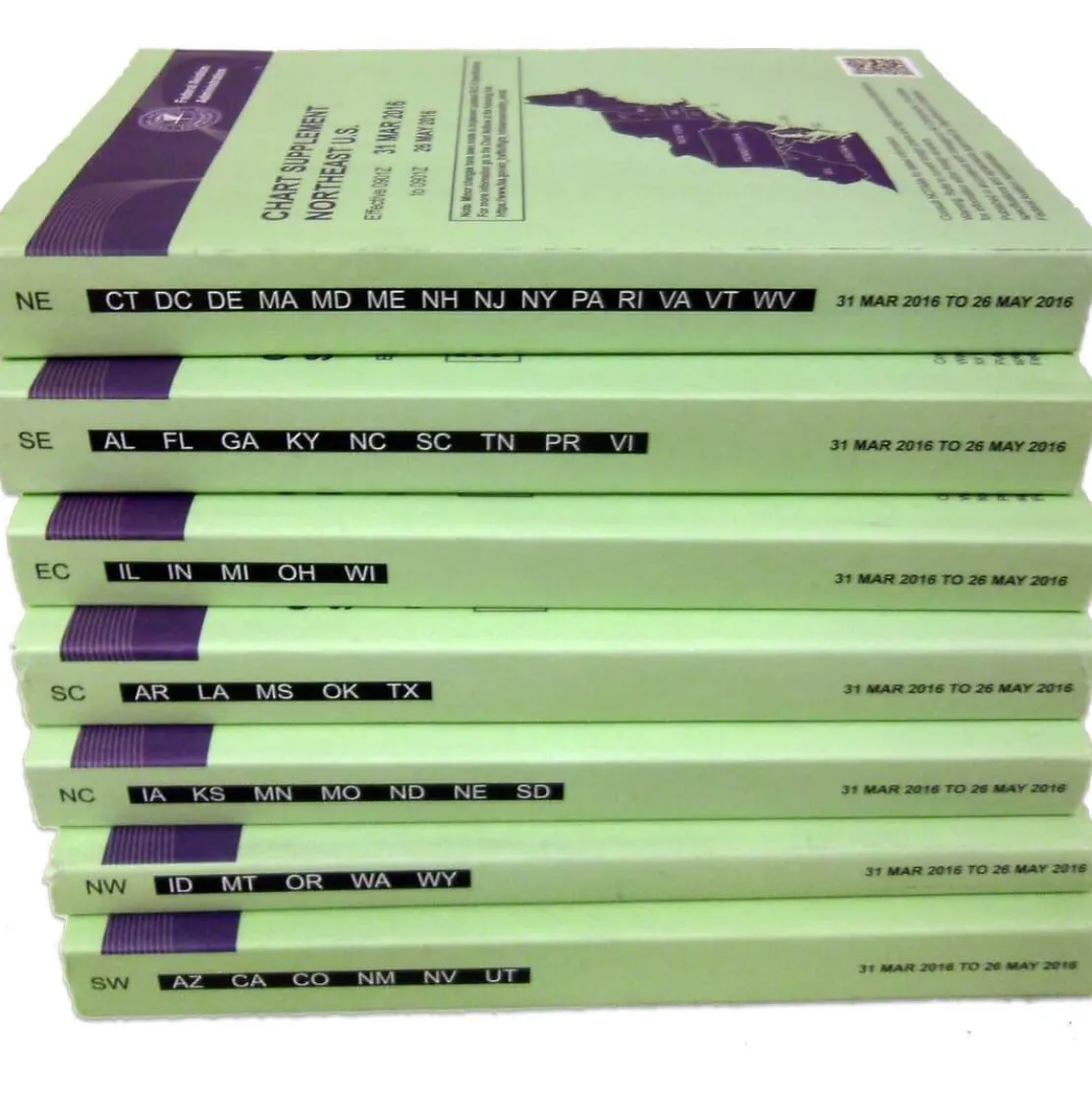
FAA Chart Supplement Set (Airport/Facility Directory) – 07/09/26 thru 09/03/26
34,99 $
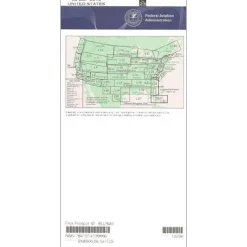
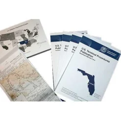
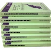
The FAA Chart Supplement Set serves as the definitive Airport Facility Directory for pilots operating across the continental United States, Puerto Rico, and the US Virgin Islands.
Complete National Coverage in one purchase eliminates the need to buy regional supplements separately.
Comprehensive Information for Safe Flight Operations
When pilots ask, “what information is in an airport facility directory,” this official FAA publication provides everything needed for safe flight operations. It includes current radio frequencies, runway dimensions, fuel availability, lighting systems, weather sources, communications data, and Navigation Aids (NAVAIDS) information. Published every 56 days, these pilot navigation supplements contain the most current information available, highlighting critical changes since the most recent publication of sectional charts, Terminal Area Charts, World Aeronautical Charts, and helicopter route charts. The set also includes updates to instrument approach procedures that pilots use to land safely during poor visibility conditions.
Bi-Monthly Updates for Safety and Compliance
For flight planning tools that answer “how often are chart supplements updated,” this aviation publication stands alone in providing bi-monthly currency. It keeps pilots informed of facility changes, new procedures, and safety-critical updates throughout the U.S. airspace system. Whether you’re a commercial pilot requiring regulatory compliance across multiple regions, a general aviation pilot seeking comprehensive airport information for unfamiliar destinations, or a flight instructor teaching proper navigation techniques, this pilot airport directory serves as an indispensable companion to your aviation charts and sectional maps.
Navigate with certainty using the FAA’s official Chart Supplement Set, providing complete national coverage in one purchase and the latest safety-critical updates every 56 days. Get your all-in-one set now!
Be the first to review “FAA Chart Supplement Set (Airport/Facility Directory) – 07/09/26 thru 09/03/26”
Related products
Aircraft Checklists
Aircraft Manuals (Poh)
Aircraft Checklists
CheckMate – TowCards Checkmate+ Standard Size Comprehensive Pilot Checklist (Modernized and Updated)

Aircraft Manuals (Poh)
Aero Commander 560E 1957-60 Flight Manual (part# AC560E57-60-F-C)


Aircraft Manuals (Poh)
Aerospatiale TB10 1988 Pilot’s Information Manual (part# SN-948)
Aircraft Checklists
Aircraft Manuals (Poh)
Lycoming GSO-480 & IGSO-480 Series 1968 Parts Catalog PC-114 (PC-114)
Aircraft Manuals (Poh)
Cessna 180K Skywagon 1977 Pilot’s Operating Handbook (D1086-13)

Pilot Essentials

Aircraft Manuals (Poh)


Fuel Testers & Gauges
Reviews
There are no reviews yet.