
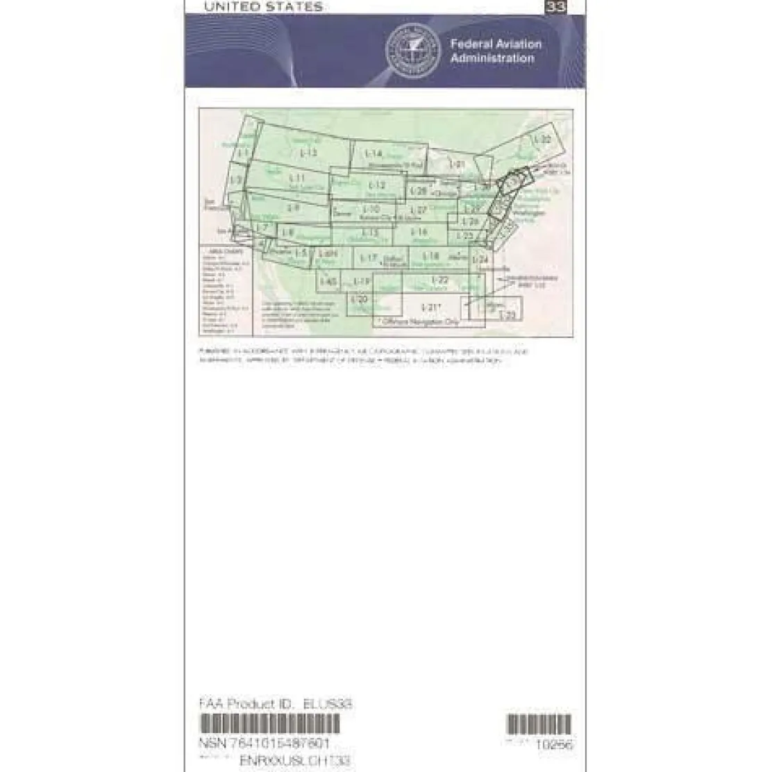
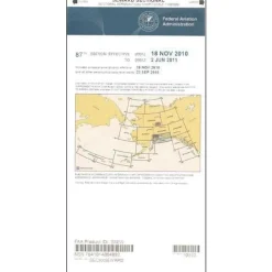
FAA L33/34 Instrument Flight Rules (IFR) Enroute Low Altitude Chart – 07/09/26 thru 09/03/26
Original price was: 5,00 $.3,99 $Current price is: 3,99 $.
The FAA L33/34 chart covers what many consider the most congested airspace in the world, spanning nine states and the District of Columbia in the Northeast corridor.
This official IFR low altitude chart provides essential navigation data for safely navigating Class Bravo airspace around Boston, New York City, Philadelphia, and Washington D.C.
Comprehensive Navigation Data for Complex Airspace
Pilots often ask, “What airspace does the L33/L34 chart cover?” This chart is a crucial guide for one of aviation’s most challenging environments. It displays critical information for flights up to 18,000 feet, including low altitude navigation routes (Victor Airways), navigational fixes, ATC reporting points, Military Training Routes (MTRs), Area Navigation (RNAV) routes, special use airspace boundaries, and VOR/DME navigation beacons with complete frequency and coordinate data. The L-34 side features a detailed Boston-Yarmouth inset for enhanced coastal navigation, with chart scales varying from 5 to 20 nautical miles per inch for optimal flight planning precision.
Reliable Resource for Pilots and Instructors
Professional pilots, flight instructors, and IFR students rely on this current edition chart to maintain regulatory compliance and situational awareness in the New England megalopolis region. Updated every 56 days as required by FAA regulations, this chart ensures you have the most current aeronautical information for safe Northeast corridor navigation. Whether you’re planning a cross-country flight through multiple Class Bravo areas or training students on complex airspace procedures, this chart provides the detailed reference data essential for confident decision-making in high-density traffic environments.
Navigate America’s most congested airspace safely and meet FAA requirements with the official L33/34 IFR Enroute Chart, your comprehensive guide for the Northeast corridor. Get your current edition now!
Be the first to review “FAA L33/34 Instrument Flight Rules (IFR) Enroute Low Altitude Chart – 07/09/26 thru 09/03/26”
Related products
Pens & Writing Pads
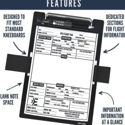
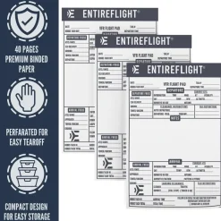
EntireFlight VFR Flight Pad 3-Pack: Triple the Organization, Triple the Convenience
Aircraft Checklists
Qref Cessna 172P Skyhawk (1981-86) Pilot Aircraft Procedures Checklist Card

Aircraft Checklists

Pilot Essentials
Aircraft Checklists
Qref Cessna 172R Skyhawk (1997+) Pilot Aircraft Procedures Checklist Flip Book

Aircraft Manuals (Poh)
Aerospatiale TB10 1988 Pilot’s Information Manual (part# SN-948)



Aircraft Manuals (Poh)


Motion Sickness Relief
TravelJohn Resealable Disposable Urinal Bags with Liqsorb Gel (TJ1N-C) 3 Pack

Aircraft Manuals (Poh)
Piper PA-14 Piper Family Cruiser Owner’s Manual (part# PA14-O-C)

Ifr Training Products
BLOCKALLS IFR View Limiting Device: The Evolution of Instrument Training

Reviews
There are no reviews yet.