
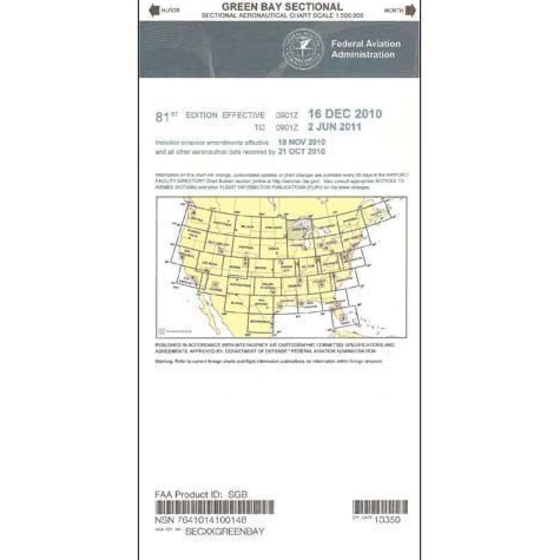
FAA Green Bay VFR Sectional Aeronautical Chart – 07/09/26 thru 09/03/26
Original price was: 8,00 $.5,99 $Current price is: 5,99 $.
The FAA Green Bay Sectional Aeronautical Chart is an essential navigation tool for pilots operating in the Great Lakes region. It provides comprehensive aeronautical information at the standard 1:500,000 scale and is updated every 56 days to ensure current, reliable data for safe air navigation.
Stay Current with Regular Updates This official FAA sectional chart is updated every 56 days, ensuring you always have the most current Green Bay sectional available for critical flight planning and navigation decisions.
Comprehensive Coverage of the Great Lakes Region
When pilots ask, “What airspace is covered by the Green Bay sectional?” they discover this Great Lakes aviation chart encompasses the entire US/Canada border region. Flight instructors and student pilots rely on this Wisconsin VFR chart for cross-country planning exercises. Recreational pilots use it for weekend flights throughout the region. The full-color, foldable chart contains essential aviation data, including airport information with runway lengths, lighting systems, and elevation details. It also provides comprehensive airspace dimensions and radio navigation aids with frequencies and identification codes.
Reliable Navigation for All Pilots
Whether you’re wondering, “How often is the Green Bay sectional updated?” or need current sectional charts for regulatory compliance, this aeronautical chart delivers the reliability that charter services, flight schools, and private pilots demand. The chart features detailed topographic information, landmarks, cities and towns, air traffic control entities with contact frequencies, bodies of water, and obstruction data. This helps pilots maintain complete awareness of their surroundings from takeoff to touchdown throughout the Great Lakes region.
Navigate the Great Lakes with confidence using the official AeroNav Green Bay Sectional Chart, your FAA-certified guide updated every 56 days for ultimate safety and accuracy. Order your current edition today!
Be the first to review “FAA Green Bay VFR Sectional Aeronautical Chart – 07/09/26 thru 09/03/26”
Related products
Aircraft Checklists
CheckMate – TowCards Checkmate+ Standard Size Comprehensive Pilot Checklist (Modernized and Updated)

Aircraft Manuals (Poh)
Piper PA-14 Piper Family Cruiser Owner’s Manual (part# PA14-O-C)

Aircraft Manuals (Poh)
Lycoming GSO-480 & IGSO-480 Series 1968 Parts Catalog PC-114 (PC-114)

Flight Computers & Plotters

Aircraft Manuals (Poh)

Pilot Essentials

Aircraft Manuals (Poh)

Aircraft Manuals (Poh)
Aircraft Checklists
Qref Cessna 172R Skyhawk (1997+) Pilot Aircraft Procedures Checklist Flip Book

Aircraft Manuals (Poh)
Aero Commander 560E 1957-60 Flight Manual (part# AC560E57-60-F-C)
Aircraft Manuals (Poh)
Cessna 180K Skywagon 1977 Pilot’s Operating Handbook (D1086-13)
Aircraft Checklists
Cessna 152 Checkmate+ Standard Size Comprehensive Pilot Checklist (Modernized and Updated)

Aircraft Manuals (Poh)
Aerospatiale TB10 1988 Pilot’s Information Manual (part# SN-948)
Reviews
There are no reviews yet.